Description
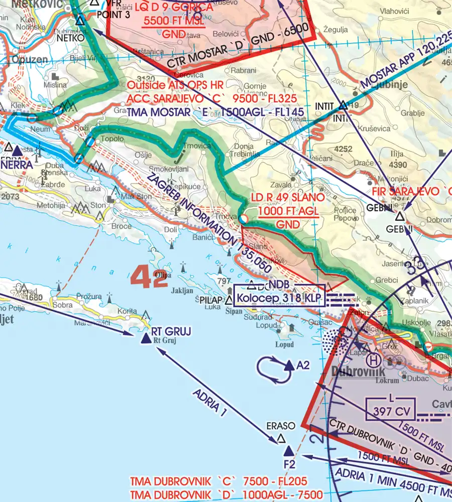
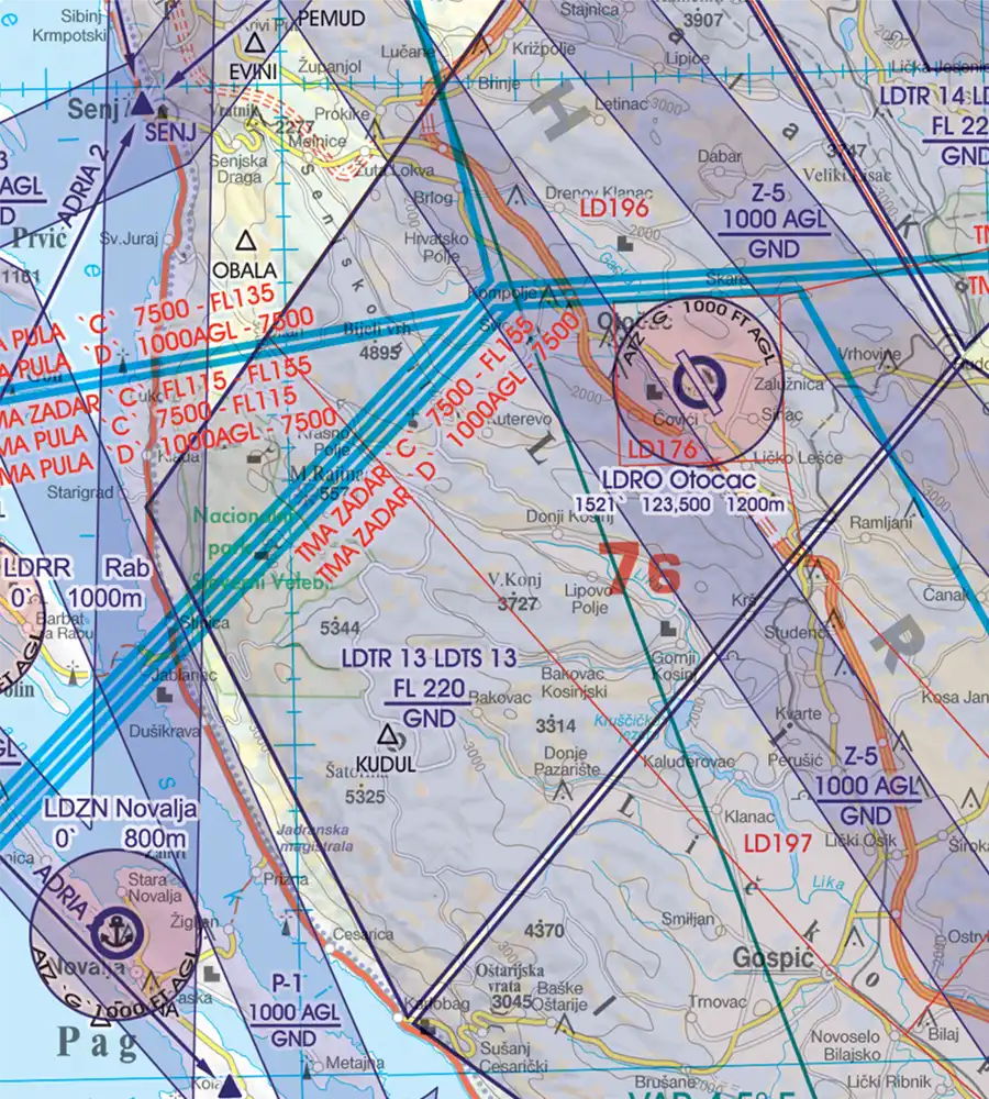
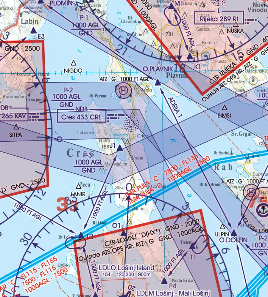
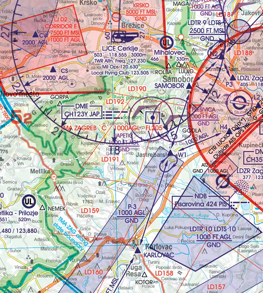
Digital VFR Chart Croatia
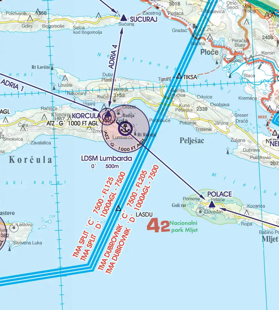
Scale: 1:500.000
Edition: 21 MAR 2025
Format: Software Chart-Licence (no CD)
After you have placed your order, we will send you the current chart serial number by e-mail.
Special features for this region:
- Recommended VFR Routes
- Water aerodromes
- Aerial sporting and recreational activities
- Areas with sensitive fauna
- Low level military flight corridors and training areas
- ATZs aerodrome traffic zones
- Significant points (border crossing points)
All Rogers Data VFR charts are designed to the following criteria:
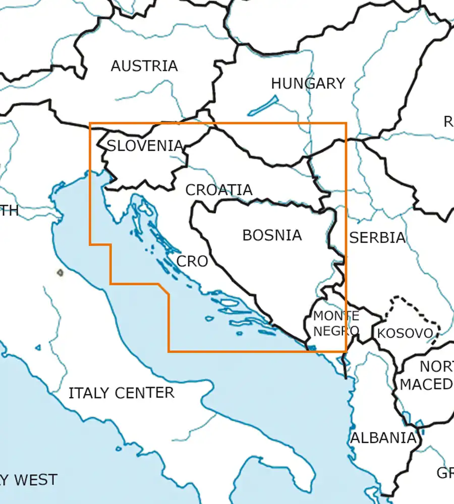
- Croatia-Bosnia Herzegovina aeronautical chart on a scale of 1:500.000
- According to ICAO Annex 4; EU Commission Regulation; AIP
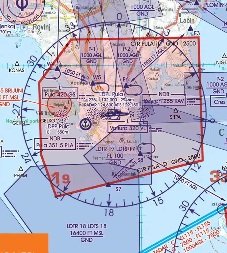
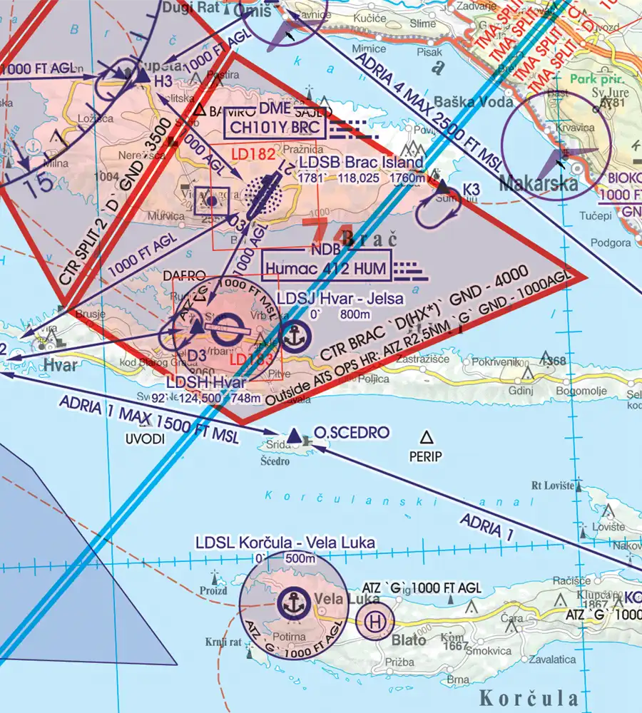
- Clear representation of the ATS airspace structure
- Detailed highly sophisticated terrain map with shading and relief
- Airports, aerodromes and heliports with additional information
- Radio Navigation Aids with name, frequency and morse code
- Compulsory reporting points, reporting points on request, significant points (border crossing)
- Danger- and restricted areas
- Obstacles or group of obstacles
- Minimum Grid Area Altitude
- Isogonic line model with magnetic variation
This digital aeronautical charts can be used for the software Flight Planner for flight planning, Moving Map for Windows PC, for Sky Map, the Aviation Moving Map for PDA and PNA, as well as for StrePla. If you already have a Rogers Data VFR aeronautical chart – ICAO chart as a Flight Planner or SkyMap customer, you can activate it with your chart serial number as follows:
- The chart serial number is printed on the original CD under the barcode.
- If not already done, register your software and charts at ifos.
- Your ifos account will be activated within 24 hours.
- After activating your account, load your chart into your iPhone or iPad using the chart serial number.
As a back-up system acc. ICAO Annex 4 the matching paper chart is suitable: Croatia – Bosnia Herzegovina Rogers Data 500k




Reviews
There are no reviews yet.