Rogers Data
VFR charts
VFR ICAO Charts | Piloten & Crew Accessories | Flight Planning & Navigation
The best is just good enough. From pilots for pilots!
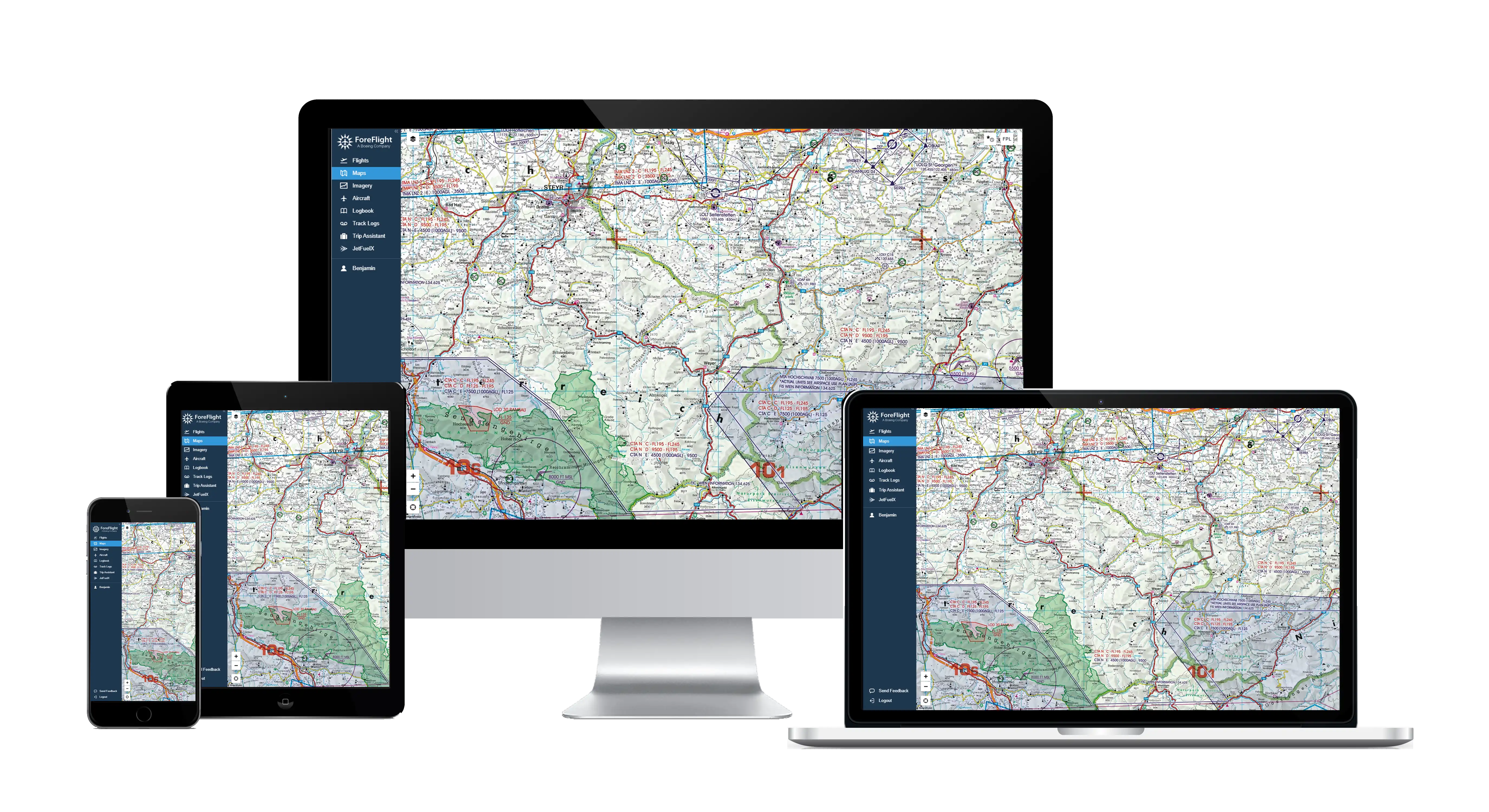
Partner for digital charts
Rogers Data charts are also available digitally from popular app and software providers.
Express and bulk orders
Use our new quick order search function for your orders now.
Reseller and Partner
Purchase Rogers Data products directly from our Europe-wide distributors and resellers.
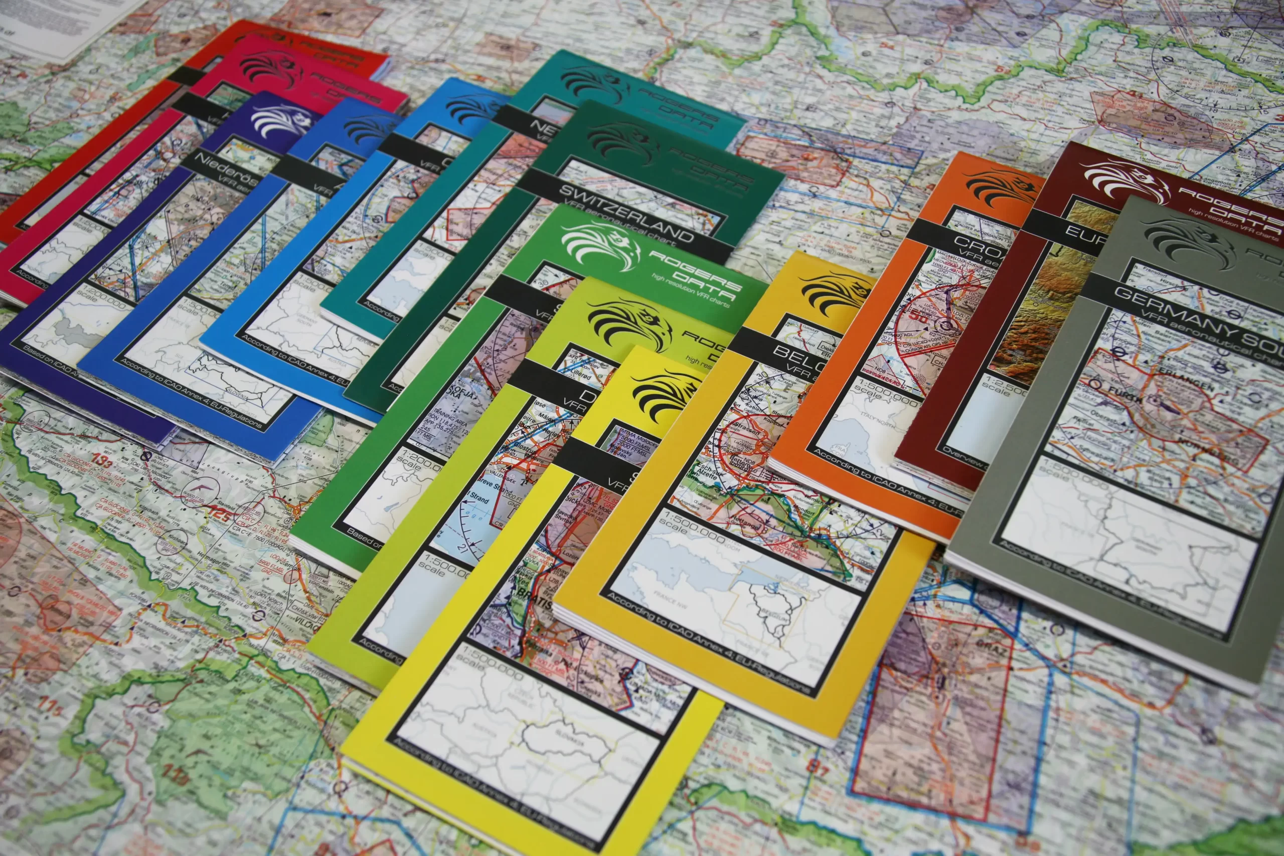
VFR ICAO Charts – Visual Flight Charts
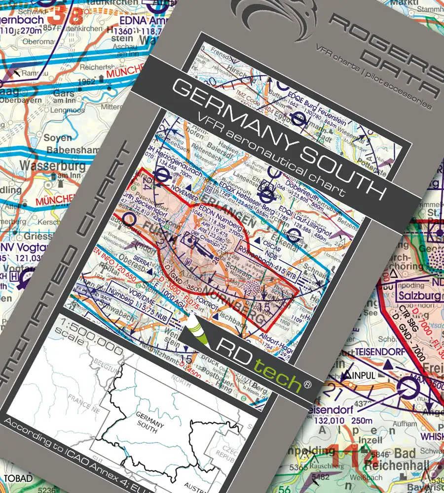
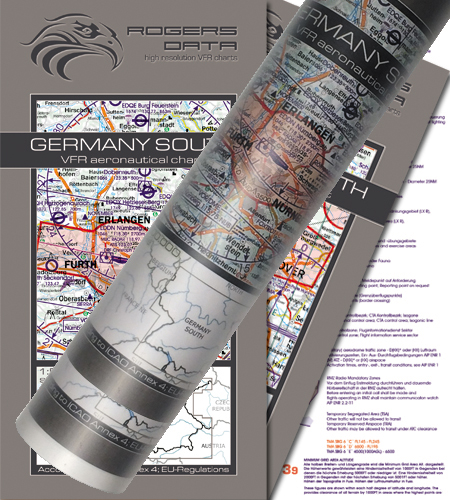
Germany South
€ 34,90 incl. VAT
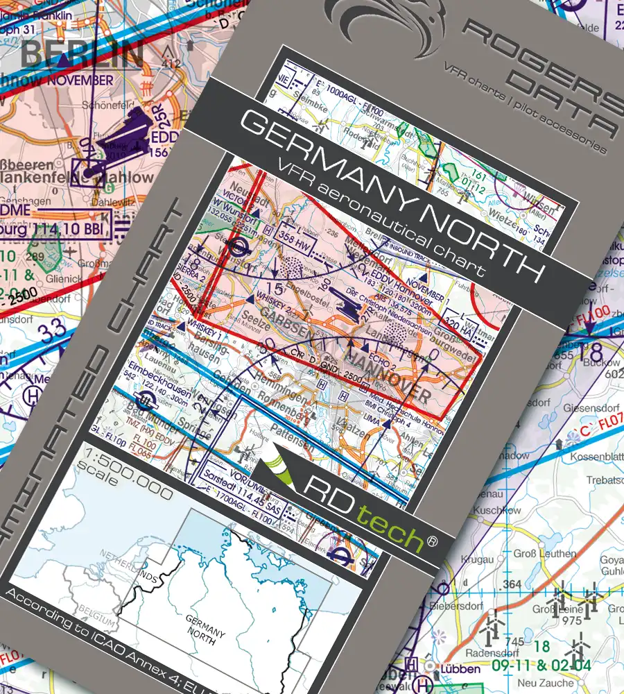
Germany North
€ 34,90 incl. VAT
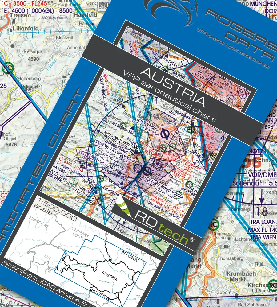
Austria
€ 24,90 incl. VAT
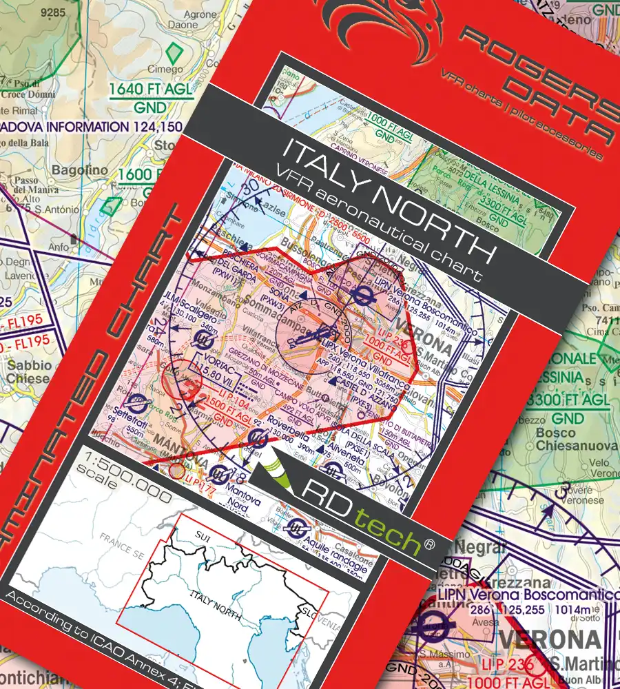
Italy North
€ 29,90 incl. VAT
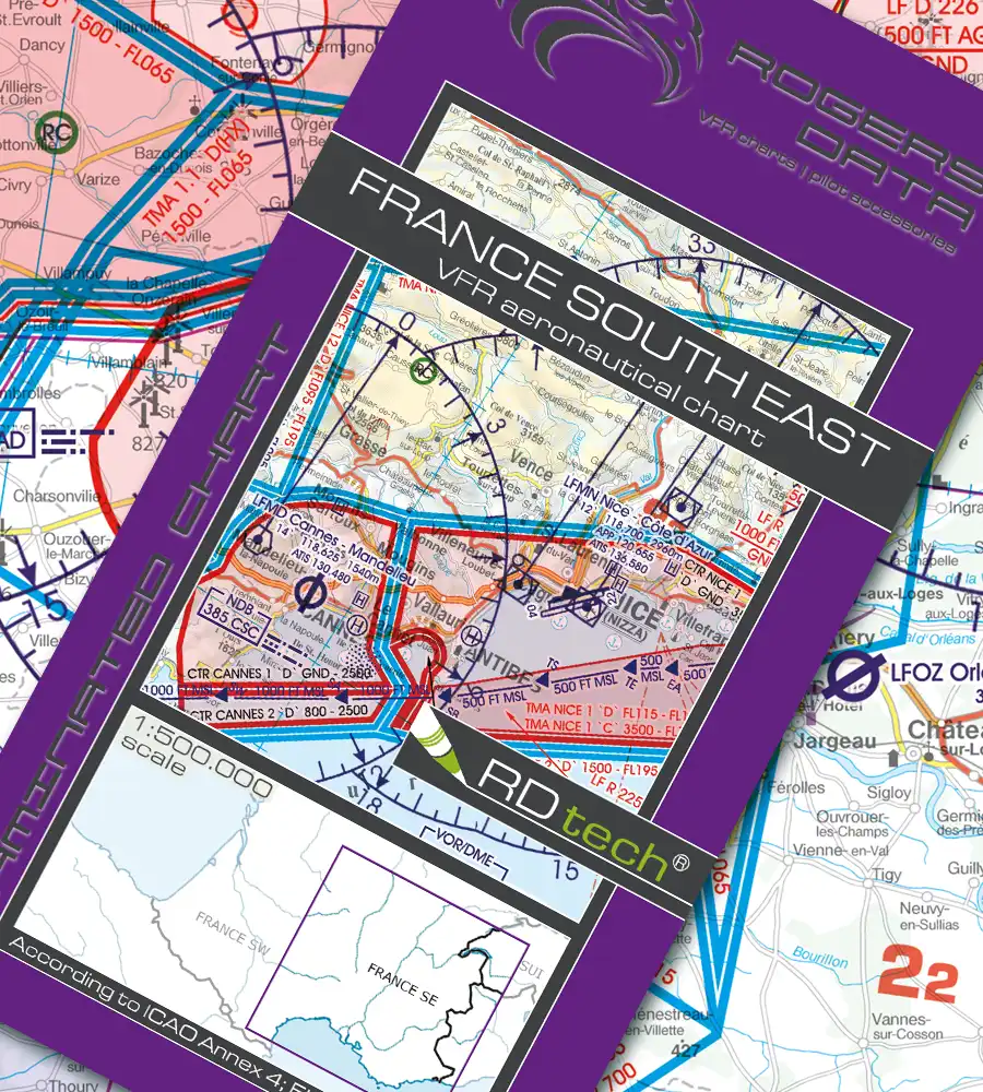
France South East
€ 29,90 incl. VAT
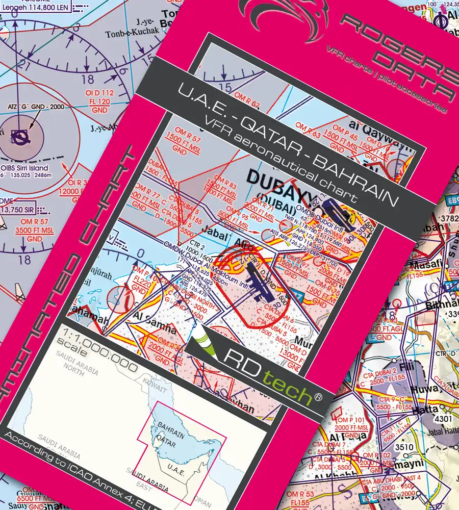
U.A.E.-Qatar-Bahrain
€ 39,90 incl. VAT

VFR Aeronautical Charts – ICAO
Rogers Data VFR ICAO charts are current and suitable, containing all the information necessary for flying. On one hand Rogers Data VFR charts meet the requirements of ICAO Annex 4 and European Commission Regulations and on the other hand meet the expectations of VFR pilots. We are able to combine the requirements and expectations of VFR pilots for VFR aeronautical charts and provide highly sophisticated and optimized products.
Bestseller
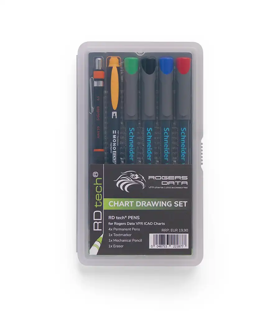
RD tech® Pens
€ 19,90 incl. VAT
Runway Markings 36
€ 39,90 incl. VAT
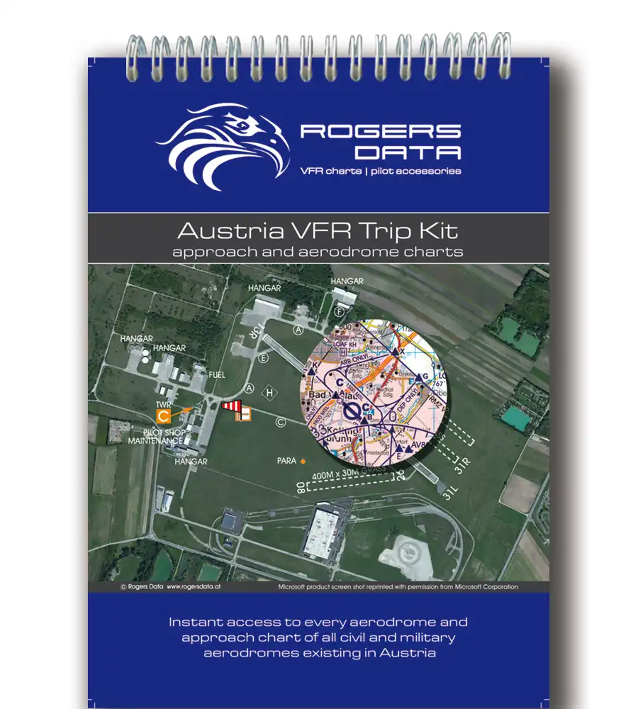
Austria VFR Trip Kit
€ 54,90 incl. VAT
Aviation Terms Bag
€ 79,90 incl. VAT
RD tech® Spray
€ 11,90 incl. VAT
Germany Wallchart
€ 69,00 incl. VAT
Question catalog for PPL exams
PPL theory exams are conducted using Rogers Data VFR ICAO charts. The “Navigation” and “Flight Planning” sections of the Aircademy ECQB-PPL question catalog exclusively use charts extracts from Rogers Data VFR ICAO charts.
In which countries is the Aircademy question catalog used for exams? Belgium, Denmark, Germany (Baden-Württemberg, Bayern, Berlin-Brandenburg, Bremen, Hamburg, Mecklenburg-Vorpommern, Nordrhein-Westfalen, Saarland, Sachsen-Anhalt, Schleswig-Holstein, Thüringen), Greece, Iceland, Luxembourg, Malta, Montenegro, Austria, Romania, Slovakia, Slovenia, Czechia

Flight Planning and Navigation
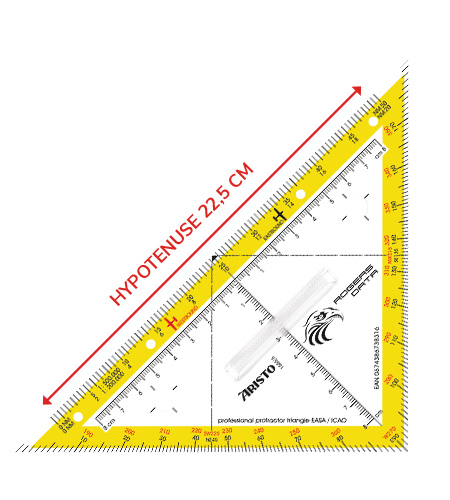
Protractor Triangle
€ 19,90 incl. VAT
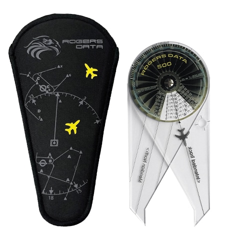
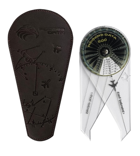
Navigation Compass 500
€ 34,90 incl. VAT
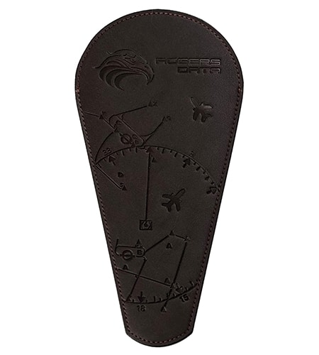
Cover for Compass
€ 24,90 incl. VAT
RD tech® Pens
€ 19,90 incl. VAT
RD tech® Spray
€ 11,90 incl. VAT
Navigation Compass 200
€ 34,90 incl. VAT

Flight Planning and Navigation
Protractor Triangle (Course Triangle) or Navigation Compass. Plan your flight easily and safely with the Rogers Data navigation triangle or navigation compass (available for three different scales). These tools are the absolute favorite among pilots thanks to their simple route planning and high user-friendliness. They also comply with the requirements for use in EASA / ICAO written PPL exams.
Crew | Cockpit | Pilot Accessories
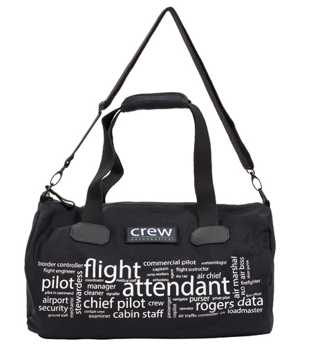
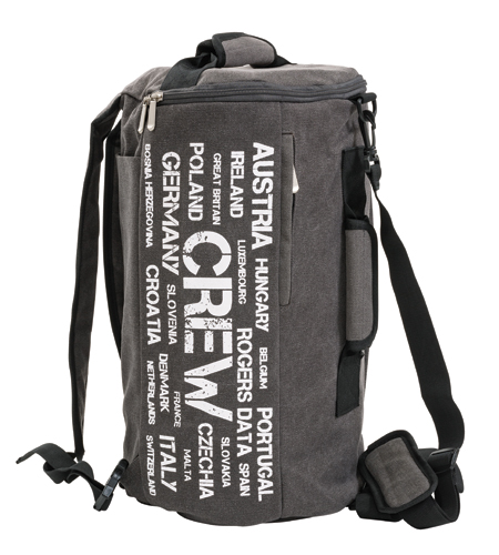
Air Crew Sport Bag
€ 59,90 incl. VAT
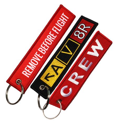
Keychain
á € 5,99 incl. VAT
Charts Available For
€ 39,90 incl. VAT
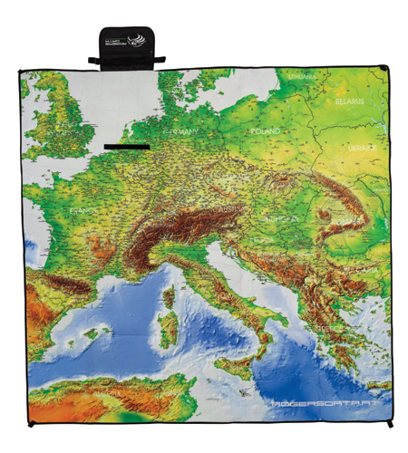
XL Picnic Blanket
€ 49,90 incl. VAT
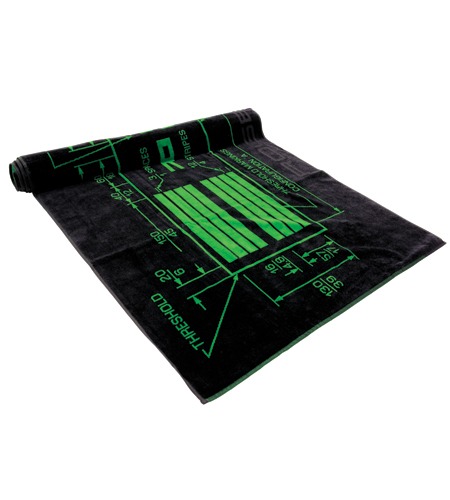
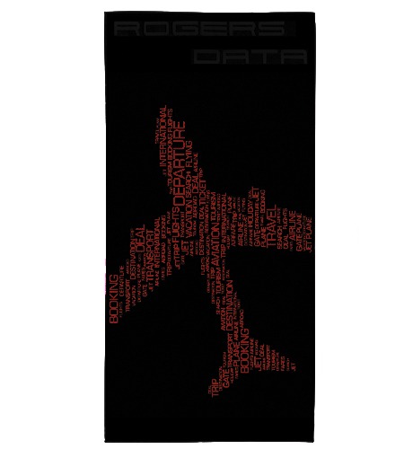
Beachtowel
€ 39,90 incl. VAT
Aviation Terms Bag
€ 79,90 incl. VAT
Frequently Asked Questions
Do VFR charts need to be approved by the authorities?
There is no rule, regulation or law that requests that only certain certified charts or charts from specific suppliers have to be used. The opinion that only goverment issued VFR charts or charts issued by a certain authority may be used for flying, is not designated in the law. Furthermore, there is no rule regarding the form in which the latest chart material has to be present. The term „aeronautical chart“ refers to all sorts of maps used for air navigation providing some of the following information: topographic features, hazards and obstructions, navigation routes and aids, airspace, and airports.
What makes Rogers Data VFR ICAO charts so awesome?
Rogers Data VFR ICAO charts are unique thanks to their RDtech® lamination (tear-resistant, writable, erasable without residue), standardized, detailed representation of European airspace (airspace structures highlighted in color, border crossing points, nature reserves, etc.), their practicality (developed by pilots for pilots, PPL exam basis) and identical digital availability on popular apps (e.g. SkyDemon, ForeFlight).
The Europe-wide chart offering, with the same map image, the same content, and the same quality, makes it easy to fly across borders. This is a great advantage!
In which apps are Rogers Data VFR charts available digitally?
ForeFlight, SkyDemon, AirNavigation, Hensoldt (EuroAvionics), SkyMap, Flight Planner, FlyMap, Airmate, LX Nav, LX navigation, RocketRoute. For Flight Planner, Sky Map and for Streckensegelflugprogramm StrePla
Why are paper charts still advantageous?
A paper VFR aeronautical chart is still a proven system for flight preparation, flight route selection and provides an overview due to its size.
Some references










About Rogers Data
Rogers Data ICAO VFR charts from north to south, from east to west. From one country to the next within Europe and beyond. We also offer VFR charts beyond the borders of Europe – for countries in the Middle East, like Türkiye, Saudi Arabia, the United Arab Emirates, Qatar and Bahrain (scale 1:1.000.000) and for countries in North Africa like Morocco, Western Sahara, Algeria, Tunisia, Libya and Egypt. All Rogers Data VFR ICAO charts have the same map image, the same content and the same quality. This makes it easy to fly across borders – once you get used to the map image of Rogers Data you can get anywhere within Europe and beyond.
The range of aeronautical charts is aimed in particular at commercial and private pilotsin general aviation, aviation companies and training organizations (flight schools). From some years now Rogers Data VFR ICAO charts are used for PPL theory exams by some aviation authorities.
Rogers Data is committed to ensuring that its products are of the highest quality. For this reason, all aeronautical charts are designed by or in collaboration with professional pilots. With this know-how and corresponding expertise, new charts are created or updated and adapted. „It is a personal concern of mine to meet the needs and expectations of VFR pilots in the best possible way and to contribute to this in flight planning and flight execution through optimized aeronautical charts“, says Ing. Robert Gallmayer, CEO Rogers Data GmbH. “Rogers Data aeronautical charts are optimized to be easily and smoothly integrated into pilots’ information management processes.”
The motto is: From pilots for pilots!


