


Description
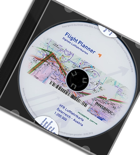
Austria Set of 4 VFR Aeronautical Charts – ICAO Charts
NEW: Include 4 Charts: Austria North East, Austria North West, Austria South East and Austria South West
Edition: 2024
Special features for this region:
- Sset consisting of 4 chart sheets at a scale of 1:200,000
- VFR sectors on international airports, VFR sectors on aerodromes
- Approach procedures, traffic pattern, reporting points, holdings
- TRAs temporary reserved airspaces
- Aerial sporting and recreational activities
- Areas with sensitive fauna
- Model airfields
- Military exercise and training areas
- Significant points (border crossing points)
All Rogers Data VFR charts 200k are designed to the following criteria:
- Austria Set of 4 charts on a scale of 1:200.000
- Based on ICAO Annex 4; EU Commission Regulation; AIP
- Very clear representation of the ATS airspace structure
- Very detailed highly sophisticated terrain map with shading and relief
- Airports, aerodromes and heliports with additional information
- Radio Navigation Aids with name, frequency and morse code
- TMZ transponder mandatory zones
- Compulsory reporting points, reporting points on request, significant points (border crossing)
- Danger- and restricted areas
- Obstacles or group of obstacles
- Minimum Grid Area Altitude
- Isogonic line model with magnetic variation
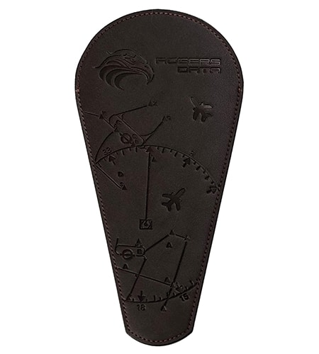
- With the Rogers Data Navigation Compass 200 track, time and distance in the scale of 1:200.000 can be easily measured
RDtech® Lamination Coating Technology:
All Rogers Data VFR charts will be issued with our brand-new and unique RD tech® lamination coating technology
The great benefit of the new and unique RDtech® technology is that all Rogers Data charts are almost impossible to tear and can be folded many times. They are designed to withstand excessive use while also being safe and easy to use.
Rogers Data VFR charts have a special laminate with a silk-matt finish that prevents reflections from the sun.
Tests have confirmed resistance at temperatures between -20°C and +80°C. The suitability for use in arctic temperatures or in hot cockpits has been proven.
They can be written on using our optimized permanent RDtech® pens. Those markings can be removed residue-free with our optimized RDtech® spray or RDtech® cleaning tissue. You can repeat all of this several times. Your laminated RDtech® VFR aeronautical chart always looks like new.
Try out our Rogers Data VFR aeronautical charts!
Enjoy flying Rogers Data VFR charts with the brand-new and unique RDtech® technology.
Reviews
There are no reviews yet.